
COMPLETE TRAVEL GUIDE
How to get from Milan Linate Airport to Cervinia
Linate Airport to Cervinia starts with Milan’s M4 underground or a reserved road pickup. For a coach itinerary, M4 to San Babila and M1 toward Lampugnano connect the airport with the Aosta Valley departure corridor. Breuil-Cervinia and Valtournenche are different village arrivals. Give the exact property and nearest stop. The city interchange and final mountain bus add time beyond the main coach ride. Check the whole chain against your flight before buying tickets; a late arrival can miss the last valley connection.
Breuil-Cervinia and Valtournenche are different village arrivals. Give the exact property and nearest stop.
| Route | Milan Linate Airport → Cervinia |
|---|---|
| Airport code | LIN |
| Road distance | roughly 200–220 km by road to the selected village |
| Transport options | 3 waysM4 / M1 metro and Aosta Valley buses · Private transfer · Rental car |
COMPARE YOUR OPTIONS
Milan Linate Airport to Cervinia: transport comparison
Times are planning estimates from airport departure to the resort area. Add time for immigration, baggage collection, waiting for departures and the journey to your exact hotel. Winter traffic and timetables can change the total.
| Mode | Approx. journey | Best for | Changes or last leg | What to check |
|---|---|---|---|---|
| M4 / M1 metro and Aosta Valley buses | 5–7 hr | Visitors with suitable scheduled connections | Several legs; check the selected itinerary and final local ride | Check each operating date, last connection, separate ticket and ski-bag allowance. |
| Private transfer | 2 hr 45 min–3 hr 45 min | Families, groups and flights outside useful public connections | No scheduled interchange on a direct booked service | Use the booking form below and confirm the complete hotel destination. |
| Rental car | 2 hr 45 min–3 hr 45 min | Trips with several villages or onward stops | None; you drive the road journey | Check the open winter route and hotel parking before reserving. |
ROAD ROUTE MAP
Where the road journey takes you
See the road route from the airport to the resort. Coaches and trains may follow different routes; open live directions before setting out.
GOOGLE MAPS ROUTEroughly 200–220 km by road to the selected village
See the route on a map
Allow external map content to load the road route. You can still open the driving directions directly below.
Driving route shown by Google Maps. Public transport routes differ.Open live driving map ↗
KNOW YOUR DESTINATIONMARKED PISTESAbout 350 km advertised for the international Cervino Ski Paradise network, including Switzerland ALTITUDEBreuil-Cervinia village around 2,050 m; high international terrain extends much higher
Skiing in Cervinia: areas, altitude and pistes
Explore the Cervinia resort guide →
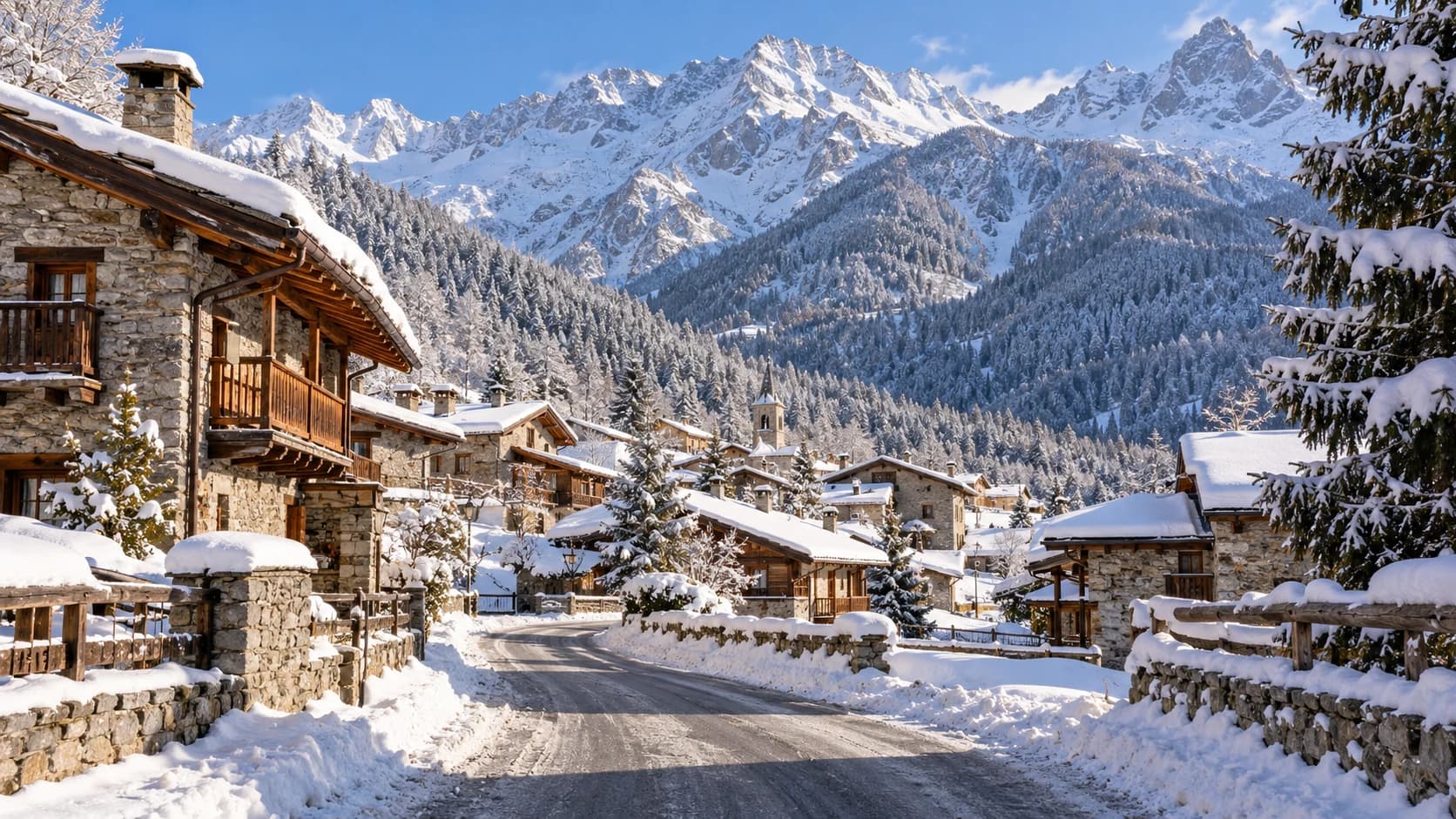
Cervinia has a high village base below the Matterhorn, with access toward Plan Maison and the international network. Valtournenche is a separate lower village, while Cielo Alto is another accommodation sector. The international piste total includes Zermatt-side skiing and requires the appropriate pass and open cross-border lifts.
Which ski area should you choose?
Breuil-Cervinia and Plan Maison
Main village lift access and high cruising terrain.
Valtournenche
A distinct lower base with its own uplift and lodging.
International links toward Zermatt
Require the correct pass, suitable conditions and time to return before connections close.
Piste difficulty: Wide cruising pistes suit many intermediates, while beginners should use designated learning areas. High-altitude weather and visibility can affect connections; do not assume the international return lifts will stay open all day.
After the transfer: Breuil-Cervinia and Valtournenche are different village arrivals. Give the exact property and nearest stop.
Terrain figures refer to the area described above; use the current map to choose your sector. Lift access and open pistes depend on the date and weather. Official piste map ↗ Resort details ↗
Ways to travel to Cervinia
Match the service to your flight arrival, group size, ski equipment and exact resort address.
01
M4 / M1 metro and Aosta Valley buses
Linate Airport → San Babila → Lampugnano → Châtillon → Breuil-CerviniaApproximate journey: 5–7 hr
Take M4 from Linate and interchange with M1 at San Babila for Lampugnano, checking service hours and luggage access. Search the Milan–Aosta corridor for the correct Châtillon stop, then the dated local bus to Valtournenche and Breuil-Cervinia. A seasonal direct coach must be confirmed separately. Use Arriva and the relevant local valley operator’s dated planner to confirm every change. Leave time for baggage collection and the walk to the coach platform. Rail through Chivasso can be another option only when the full dated planner offers it; replacement works may change the journey.
- Start at Linate Airport and confirm the correct departure point for the first leg.
- Follow the planned connections: San Babila → Lampugnano → Châtillon → Breuil-Cervinia.
- Breuil-Cervinia and Valtournenche are different village arrivals. Give the exact property and nearest stop.
Good to know: Check each operating date, last connection, separate ticket and ski-bag allowance.
Transport and destination information ↗ATM M4 connections ↗Cervino arrival information ↗02
Private transfer
Reserved airport pickup to your Cervinia addressApproximate journey: 2 hr 45 min–3 hr 45 min
A private transfer from Milan Linate Airport to Cervinia can simplify the main road leg. Confirm the actual drop-off and any final mountain connection before booking. Breuil-Cervinia and Valtournenche are different village arrivals. Give the exact property and nearest stop. Send the flight number, arrival terminal, passenger count and ski-bag count before booking. Ask whether the quote includes the full journey, delayed-flight waiting and child seats. Use the Aosta Valley corridor and Châtillon climb; check snow and parking for the upper village.
- Agree the terminal meeting point, flight tracking and waiting terms.
- Provide the accommodation address, passenger and ski-bag counts, and child-seat needs.
- Breuil-Cervinia and Valtournenche are different village arrivals. Give the exact property and nearest stop.
Good to know: Use the booking form below and confirm the complete hotel destination.
Find or request a private transfer ↓
Destination arrival information ↗03
Rental car
Drive to Cervinia with winter access and parking plannedApproximate journey: 2 hr 45 min–3 hr 45 min
Use the Aosta Valley corridor and Châtillon climb; check snow and parking for the upper village. Collect a vehicle with enough space for people, luggage and skis. Confirm winter equipment and any cross-border permission with the rental provider, then use live directions to the property. Check parking costs and whether you will need a car during the stay. The road distance and driving duration shown here are approximate planning ranges; they exclude rental collection, stops and unexpected weather delays.
- Confirm luggage capacity, winter equipment, border permission if needed and parking.
- Check current road alerts and set navigation to the actual hotel or village.
- Allow a buffer for snow, traffic and the final property approach.
Good to know: Check the open winter route and hotel parking before reserving.
Open driving directions ↗Resort access information ↗After your flight
M4 / M1 metro and Aosta Valley buses: Linate Airport → San Babila → Lampugnano → Châtillon → Breuil-Cervinia. Plan every leg against your landing time and the final local departure.
The final leg
Breuil-Cervinia and Valtournenche are different village arrivals. Give the exact property and nearest stop.
Winter timing
Allow approximately 2 hr 45 min–3 hr 45 min by road or 5–7 hr using the described public itinerary. These editorial ranges include typical connections but are not live timetable results. Baggage collection, long waits, border queues, snow and Saturday traffic can add time. Check the actual departure plan for your date.
Route information reviewed 2026-10-04. Confirm timetables, prices, road conditions and pickup points with the operator for your travel date. Destination travel information ↗
FAQ: Milan Linate Airport to Cervinia
How far is Cervinia from Milan Linate Airport?
The approximate road distance is roughly 200–220 km by road to the selected village. It changes with the route and your exact accommodation.
What is the easiest way to travel from Milan Linate Airport to Cervinia?
A pre-booked private transfer can simplify the road journey with ski luggage. Confirm the road drop-off and any final gondola or local connection. Compare the scheduled and reserved alternatives below against your flight time.
Can I use public transport to reach Cervinia?
Compare the specific options below: some routes have scheduled transport, while others require a reserved final road ride. Do not assume a direct airport bus or train. Check all changes, seasonal dates and the final arrival connection.
Find a private transfer
Compare transfer options for your airport and resort.
Search private transfers
Enable the external booking tool to search transfers. The provider may use cookies and receive your browser data.
HELP KEEP THIS GUIDE USEFUL
Travel information & updates
Last checked: . Check the operator’s timetable for your travel date.